National Children’s Science Center Marronnier Park
The mapped route includes three crosswalks. The main-road, avoid-stairs alternative is about 17 minutes and 1 km. Map checked 2026-10-17
11min678 m · map estimate
SEOUL / Jongno · Hyehwa
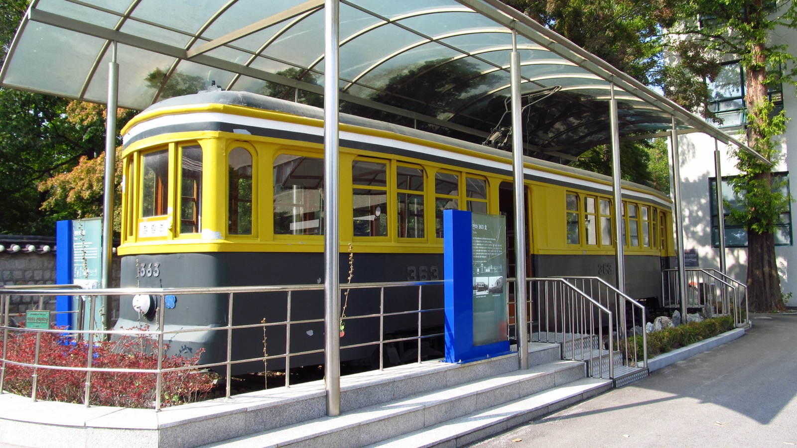
The Commons file’s Korean description identifies the image as the Seoul Tram preserved at the National Children’s Science Center; the English description says “Preserved Seoul Tram 363” outside the National Children’s Science Center in Jongno-gu. The published coordinates (37.582194, 126.996667) are also on the same facility grounds. The car number 363, outdoor shelter and tram-preservation sign were verified directly in the image. This is not a photo of a science center in Gwacheon or Nowon, nor an operating tram route. Although the photo was taken in 2019 after the 2017 renovation, it does not establish whether the tram is currently accessible or open to visitors. Do not describe it as a building exterior, indoor play area or new exhibition photo. The 4,000 × 2,250 original was resized with sips to 1,600 × 900, preserving its aspect ratio, and recompressed at JPEG quality 75. No crop or subject alteration was made. Retain CC BY-SA 4.0 on the photo and resized version, and credit creator LERK, the original filename and source, and note the modification. The image may be cropped to fit its display area. The photo license is the one linked above.
Center the visit on activities at the National Children’s Science Center in Jongno, then take a break near Marronnier Park. This itinerary is in the Hyehwa area and should not be confused with the facility in Neung-dong, Gwangjin-gu.
Seoul itinerary guide · Check the stated travel-time coverage and operating conditions for your travel date.
National Children’s Science Center · Marronnier Park
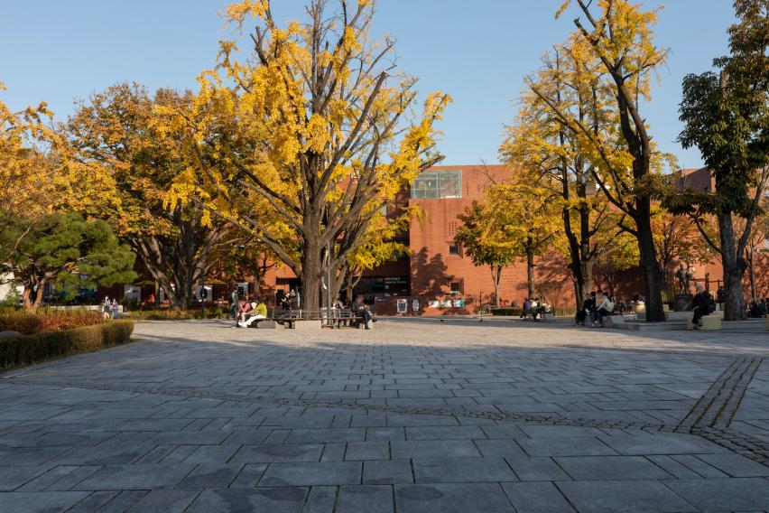
The Seoul Tourism Archive item title, CID and KOGL Type 1 permission for commercial use and modification were checked in the original HTTP page. The plaza, autumn trees, red-brick building behind them and visitors taking a break are visible in the photo. It does not show a performance or guarantee tickets to one. The official resized 852 × 568 version was downloaded, with no further local conversion. The 2021/04 upload path is not used as the photo date. The image may be cropped to fit its display area. The photo license is the one linked above.
THE ROUTE
Book permanent exhibitions and separately scheduled activities separately.
Find Places on the Map (opens in a new tab)After visiting the science center, finish with a break and meal.
Find Places on the Map (opens in a new tab)The mapped route includes three crosswalks. The main-road, avoid-stairs alternative is about 17 minutes and 1 km. Map checked 2026-10-17
11min678 m · map estimate
These links search by place name. They are not fixed coordinates, live directions or verified entrance guidance. Check entrances, restrictions, stairs and your return route on the day of your visit.
Booking is recommended for permanent exhibitions, with tickets available online and on site. The planetarium and Light Playground require online reservations. Individual bookings open 14 days in advance; check session times and age requirements for each activity.
No. They show only the walking segments between representative start and end points; time inside attractions, waiting, meals and breaks are additional. Total visit duration is an editorial suggestion.
A permanent-exhibition ticket does not guarantee access to a separate program. If you want a particular activity, check its age requirements and whether payment is complete.
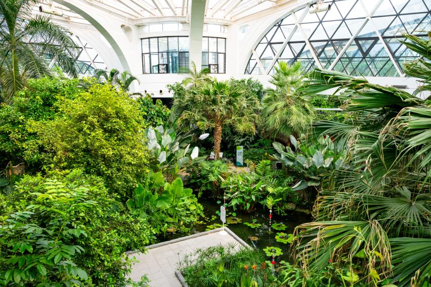
This is the same photo as catalog-photos.json’s botanic-park image. The individual archive page’s HTML was rechecked today for the title Seoul Botanic Park, image 10566 and KOGL Type 1 mark. The JPEG was downloaded from the public image URL and saved locally without changes to size, color or composition. The 2025/08 in the URL is an upload path, not the photo date. The image may be cropped to fit its display area. The photo license is the one linked above.
Focus on the areas that interest your child in the themed garden or greenhouse at Seoul Botanic Park. This half-day plan leaves time for a meal and a break after your visit instead of trying to walk through the entire park.
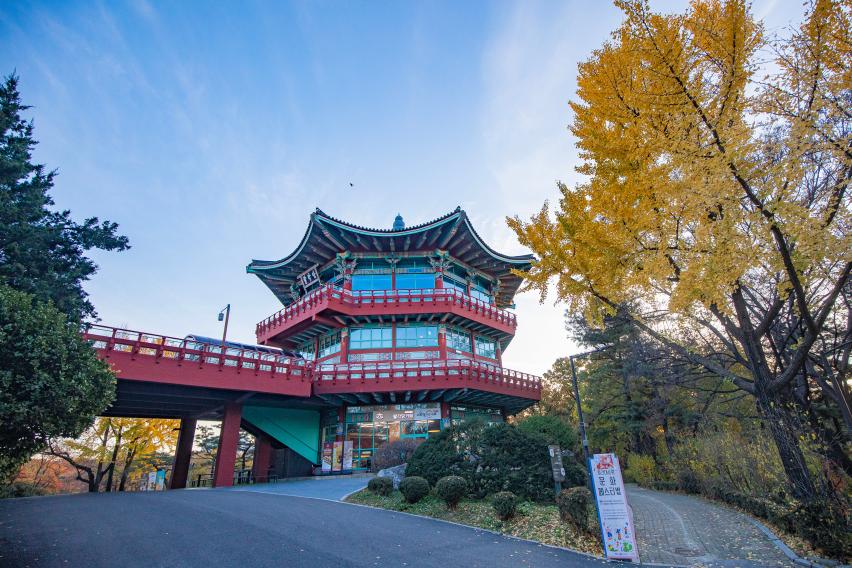
This is the same photo as catalog-photos.json’s childrens-park image. The individual archive page’s HTML was rechecked today for the Children’s Grand Park title, Children’s Grand Park Pavilion tag, image 10264 and KOGL Type 1 mark. This is Children’s Grand Park in Gwangjin-gu, Seoul, not Seoul Grand Park in Gwacheon or Busan Children’s Grand Park. It is not described as a zoo photo. The original JPEG was saved locally without conversion. Photo date not stated. The image may be cropped to fit its display area. The photo license is the one linked above.
At Seoul Children’s Grand Park, choose the animals your child wants to see and areas where you can take breaks. Rides are optional, so you can keep the visit short depending on the weather and your child’s energy.
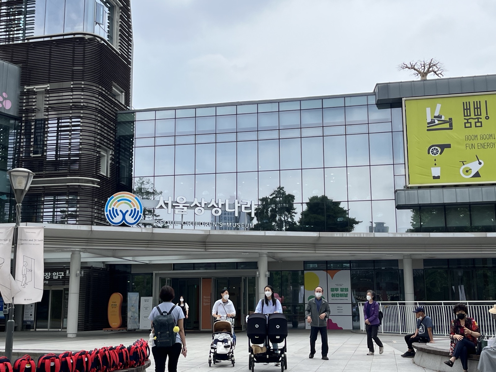
The Commons file describes the location as the Children’s Museum inside Children’s Grand Park. The Seoul SangSang Nara and SEOUL CHILDREN’S MUSEUM signs were read directly in the photo to confirm it is the same facility. The 4,032 × 3,024 original was downloaded, resized with sips to 1,600 × 1,200 while preserving its aspect ratio, and recompressed at JPEG quality 75. No crop or subject alteration was made. The exhibition banner and visitors shown at the time are not described as a current event or officially recommended people. Derivative photos must also show CC BY-SA 4.0 and note modifications. The image may be cropped to fit its display area. The photo license is the one linked above.
Keep the day at a relaxed pace, centered on activities at Seoul Children’s Museum. The neighboring Seoul Children’s Grand Park is not a required add-on, leaving children time to enjoy the activities.
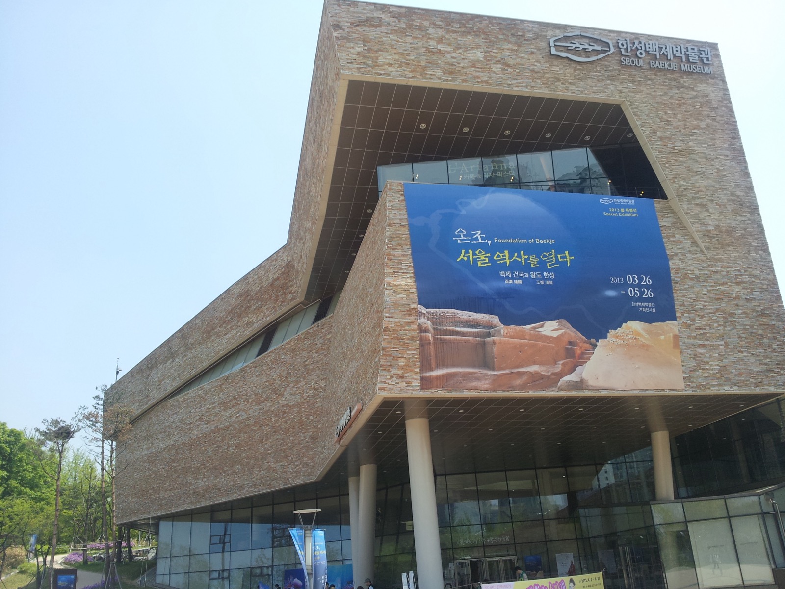
The Korean description in the Commons file identifies the front of the Seoul Baekje Museum. The building signs “한성백제박물관” and “SEOUL BAEKJE MUSEUM” were checked directly in the photo. It is not confused with the separate Seoul Baekje Children’s Museum. The 3,264 × 2,448 original was downloaded, resized with sips to 1,600 × 1,200 while preserving its aspect ratio, and recompressed at JPEG quality 75. No crop was made. The 2013 special-exhibition banner is a detail from the past and must not be described as a current exhibition. Derivative photos also need CC BY-SA 3.0 and a modification notice. The image may be cropped to fit its display area. The photo license is the one linked above.
Explore history at Seoul Baekje Museum, then walk only part of Olympic Park. Use the area toward the World Peace Gate as a representative segment; the itinerary does not require circling the whole park or visiting multiple facilities.
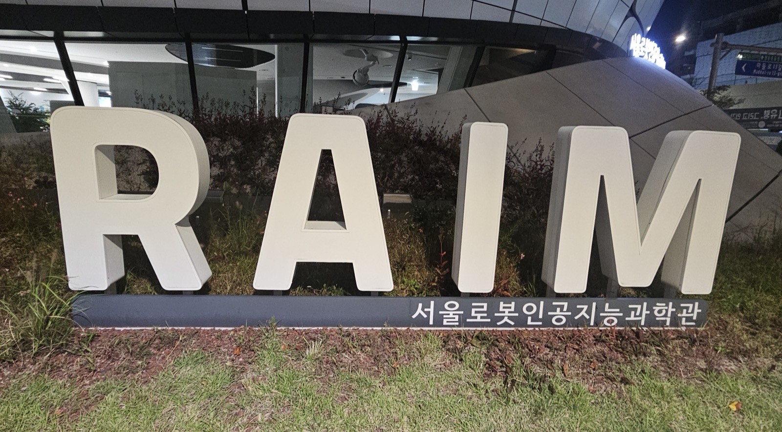
This is a photo of the sign naming the facility, not a building-wide view. The text “RAIM” and “서울로봇인공지능과학관” was checked directly in the image. The Commons file separately notes that the sign text and simple design are subject to TOO and grants CC BY-SA 4.0 for the photograph. The 4,000 × 2,214 original was downloaded, resized with sips to 1,600 × 885 while preserving its aspect ratio, and recompressed at JPEG quality 75. No crop was made. Do not describe it as a building-wide view, indoor exhibition or activity photo. Derivative photos also need CC BY-SA 4.0 and a modification notice. The image may be cropped to fit its display area. The photo license is the one linked above.
Center the visit on a booked exhibition tour or activity at Seoul Robot & AI Museum. First check the difference between reserved programs and drop-in activities, then take a break in Chang-dong afterward.
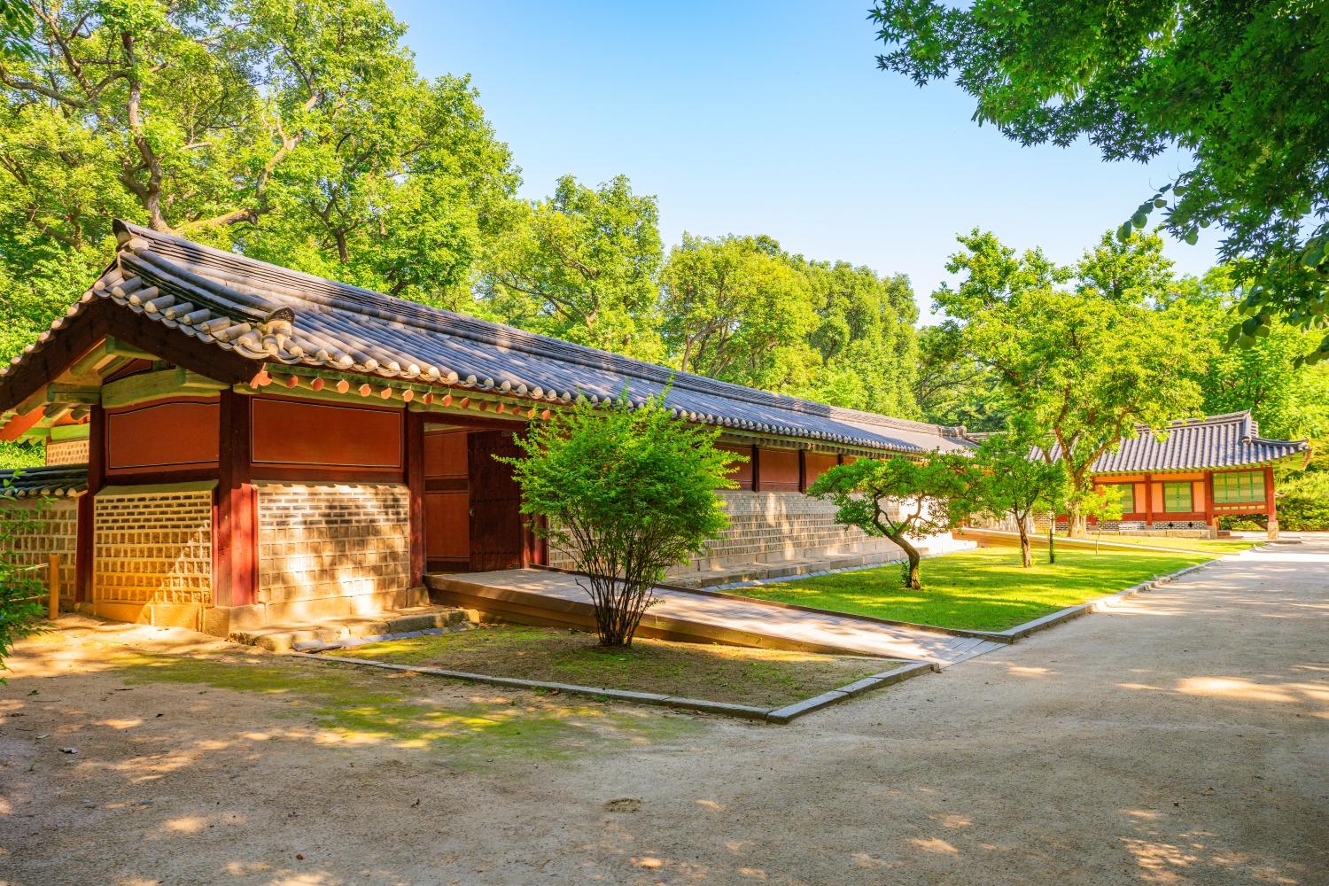
The individual Jongmyo source and KOGL Type 1 license were checked; the tiled-roof building and trees within the grounds were verified directly in the photo. The building was not further identified as Jeongjeon or Yeongnyeongjeon, so it is not named as a specific hall. The image may be cropped to fit its display area. The photo license is the one linked above.
Explore Jongmyo’s ancestral ritual culture, then continue to the everyday life of Gwangjang Market and the scenery along Cheonggyecheon. Admission to Jongmyo varies by day, so distinguish between days with general admission and visits by guided-tour time slot.